EXPERIENCE • TECHNOLOGY • VISION
EXPERIENCE
TECHNOLOGY
VISION
REDETERMINATION OF BENEFITS
We provide detailed reporting on the economic impact to lands that benefit from the use of a public drainage system.
Drainage Systems GIS Data Sandwich
These 8 layers are some examples of the 70+ layers considered during our process.

Parcels

Watershed Boundary

PLSS (Sections, Quarters, QQs)

Ditch Alignment

Road Alignments

LiDAR Elevation Data

Soils

Aerial Imagery
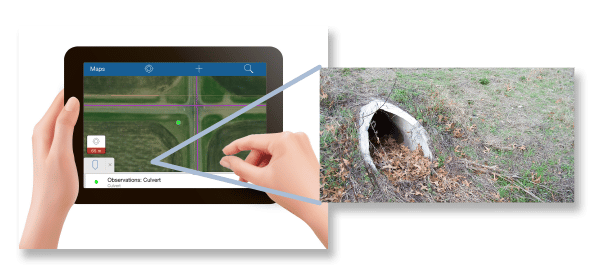
Ground Truthing

Detailed Maps
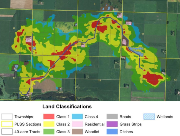
Our team provides fact-based valuations for both classifications as well as easement acquisitions for your project.
GEOREFERENCED CLASSIFICATION MAPS

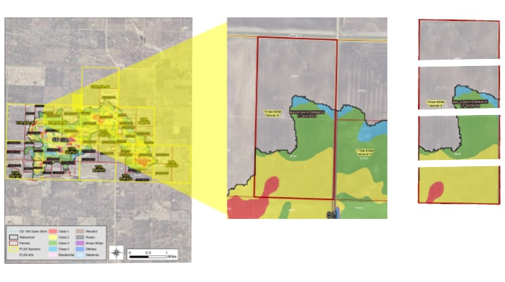
INDIVIDUAL PARCEL MAPS FOR TRANSPARENCY AND FUTURE PARCEL SPLITS

